
Our geospatial technology encompasses a comprehensive suite that empowers users with innovative tools and insightful expertise, spanning from aerial data collection to advanced data management and analysis. It encapsulates solutions from leading-edge drone technology to dynamic GIS mapping and provides a robust pathway to master these technologies with industry-leading tutorials.
GEOSPATIAL

Delair
Manufacturer of unmanned aerial vehicles and an asset-management company Delair is the one-stop shop for enterprise digital applications: from data collection to business intelligence. Delair’s professional fixed wing drones are the ideal tool for acquiring aerial data faster and farther. They cover large surfaces with each smooth and stable flight.
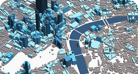
GIS Mapping
Geographic Information Systems is a framework that gathers, manages, and analyses data.

QGIS
Learn how to use QGIS, from beginner basics to advanced techniques, with industry experts.